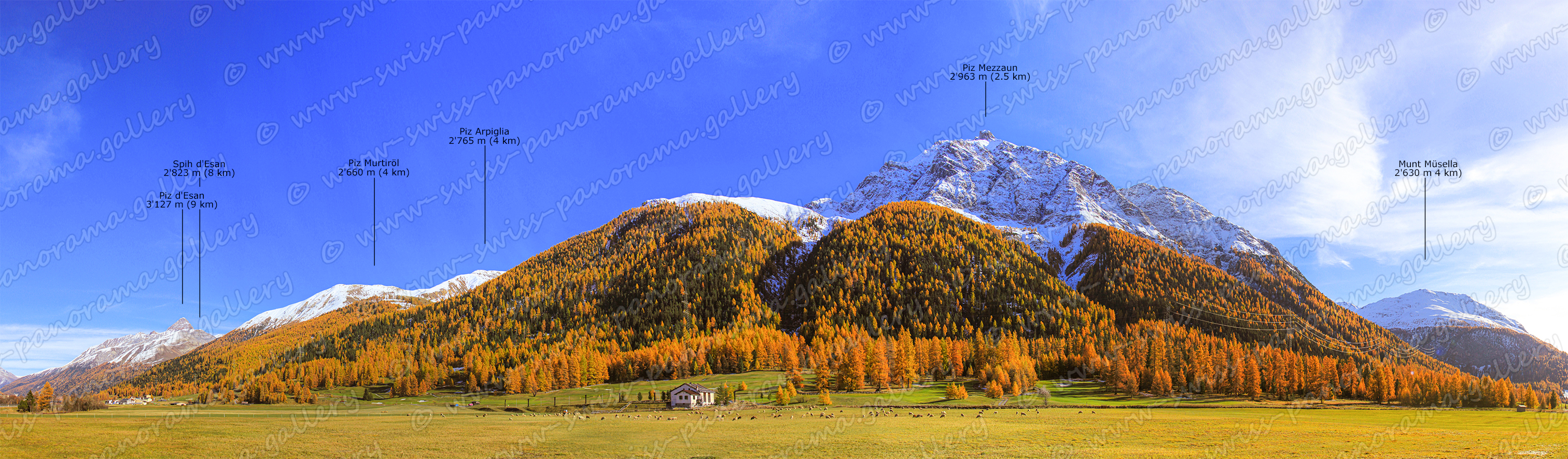
The Upper Engadine valley at an altitude of 1'600 - 1'800 metres follows the route of the Inn River from Maloja and the Upper Engadine Lakes Area to Punt Ota (between Cinuos-chel und Brail). Ova da Punt Ota is the name of a small river seperating the Upper Engadine Valley from the Lower Engadine Valley.
Weitere Bilder folgen in der Zukunft.
More pictures to follow in the future