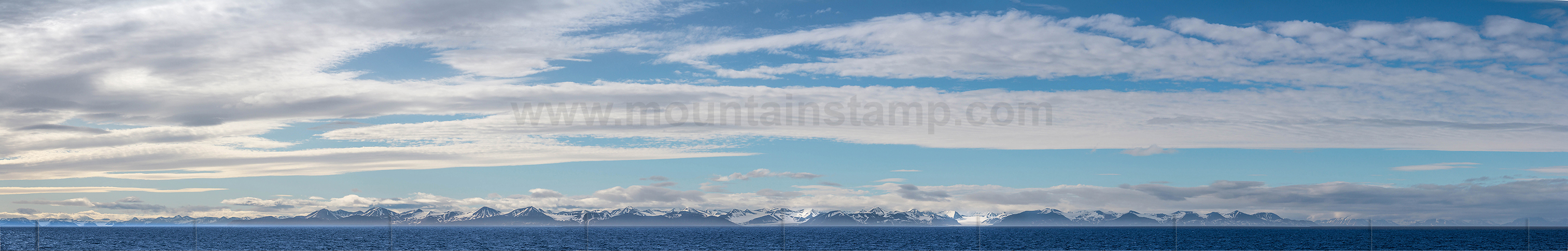
Spitsbergen panorama
Distant view, morning scenery in Hornsund.
The Hornsund is an about 25 kilometres long fjord on the western side of the southernmost tip of Spitsbergen island.
image (2165 68) size: 12828px x 3247px
Click on the image to enlarge it to full-screen display in panorama viewer.
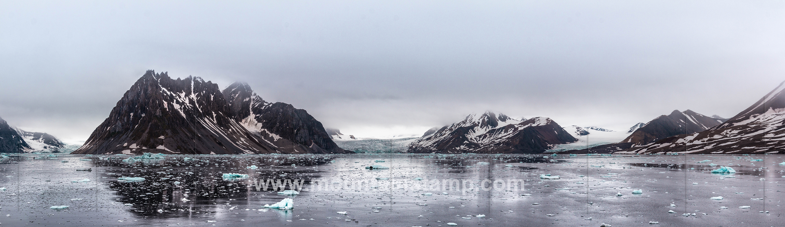
Spitsbergen panorama Burgerbukta
Burgerbukta is the northermost bay in inner part of Hornsund, southeast in Wedel Jarlsberg Land. After Wilhelm Burger, 1844-1920, Austrian court photographer, member of Count Wilczek's expedition to Spritsbergen and Novaya Zemlya 1872 which mapped and named the bay.
(source "The Names of Svalbard", Norwegian Polar Institute).
image (2440 45) size: 11387px x 3500px
Click on the image to enlarge it to full-screen display in panorama viewer.